Delhi’s Rohini sub-city is one of those rare urban success stories where government planning actually delivered on its promise. Wide roads, organised sectors, reliable metro access, and a strong sense of community — it’s all here. And within this well-structured township, Sector 4 Rohini stands as one of the more well-rounded and liveable sectors. With good public transport, metro connectivity nearby, markets at a walkable distance, and easy cab and auto availability — residents have consistently rated it highly. Here’s your complete guide.
Where is Sector 4 Rohini Located?
Sector 4 Rohini is a well-developed residential locality situated in North West Delhi, part of the National Capital Territory of Delhi. Its PIN code is 110085, with the postal head office at Rohini Sector 11. The sector falls under the Rohini Assembly Constituency in North West Delhi district.
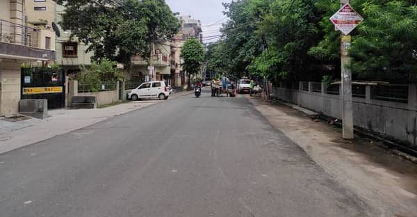
As one of the earlier phases of the DDA’s Rohini sub-city project launched in 1980, Sector 4 carries the hallmarks of thoughtful urban planning — wide internal roads, properly demarcated residential blocks, and accessible parks and green belts. The sector has a healthy mix of plotted houses, builder floors, and cooperative group housing societies (CGHS), offering variety for different buyer profiles.
Sub-localities within or adjacent to the sector include Vijay Vihar Phase II, Hargovind Vihar, Sector 4B, Sector 5A, Sector 5C, and Lal Dora — all established pockets that add depth to the residential ecosystem. The sector also sits conveniently close to Rithala, one of Rohini’s key transit anchors, and the broader Avantika residential belt. The famous Rajiv Gandhi Cancer Institute and Research Centre is just under 2 km away — a significant healthcare asset for this part of North Delhi.
Connectivity: Getting Around from Sector 4 Rohini
Metro Connectivity
Sector 4 Rohini is well-served by the Red Line of the Delhi Metro via two nearby stations:
- Rithala Metro Station (Red Line) — approximately 2 km away, this is the primary metro station for Sector 4 residents. The Red Line runs from Rithala all the way to Shaheed Sthal (New Bus Adda), covering key stops like Rohini East, Pitampura, Kohat Enclave, Netaji Subhash Place, Inderlok, and Kashmere Gate
- Rohini West Metro Station (Red Line) — another accessible Red Line option for daily commuters heading toward Pitampura and central Delhi
From Rithala, residents can reach Netaji Subhash Place (NSP) in about 10 minutes and Connaught Place in under 30 minutes. The Red Line also connects to the Yellow and Violet Lines at Kashmere Gate, opening up the entire Delhi Metro network.
Looking ahead, the Rithala-Narela-Bawana Metro corridor (approved under Phase IV of Delhi Metro) will further enhance metro access for Sector 4 residents, once construction advances.
Road Connectivity
- Bhagwan Mahavir Marg — the primary arterial road of the Rohini belt, connecting Sector 4 to Pitampura, markets, and healthcare hubs
- NH-44 (GT Road) — national highway connecting to core Delhi and beyond
- Outer Ring Road — fast connectivity to West, South, and East Delhi
- 40 Feet Road — key internal road within the sector connecting pockets efficiently
Rail and Air Connectivity
- Shakurbasti Railway Station — nearby rail access for inter-city travel
- New Delhi Railway Station — approximately 15 km, accessible via metro or road
- IGI Airport — approximately 20–22 km via Outer Ring Road
Sector 4 Rohini Connectivity at a Glance
| Mode of Transport | Route / Station | Approx. Distance / Time |
| Metro – Red Line | Rithala Metro Station | ~2 km |
| Metro – Red Line | Rohini West Metro Station | ~2–3 km |
| Netaji Subhash Place (NSP) | Red Line Metro | ~10 minutes |
| Connaught Place | Red Line Metro | ~30 minutes |
| Shakurbasti Railway Station | Road | Nearby |
| New Delhi Railway Station | Metro / Road | ~15 km |
| IGI Airport | Via Outer Ring Road | ~20–22 km |
| Rajiv Gandhi Cancer Institute | Road | ~2 km |
Nearby Areas and What They Offer
Shopping and Entertainment
Residents of Sector 4 Rohini enjoy convenient retail access. City Centre Mall is approximately 2.2 km away — one of the most popular retail destinations in the Rohini corridor. Mangalam Place Mall is about 3.2 km away, offering a wider range of branded stores and a food court. The Pitampura TV Tower area and local markets in Sectors 3 and 4 handle everyday grocery and household needs. Adventure Island and Chinese Park — two beloved recreational spots — are accessible from the Rohini area.
Healthcare
Rajiv Gandhi Cancer Institute and Research Centre — one of India’s leading cancer care facilities — is just under 2 km from the sector, a significant medical asset. B.R. Healthcare Rohini, K.P.S. Hospital and Multi-Speciality Hospital, and several private clinics within the sector ensure that routine and emergency healthcare is always accessible.
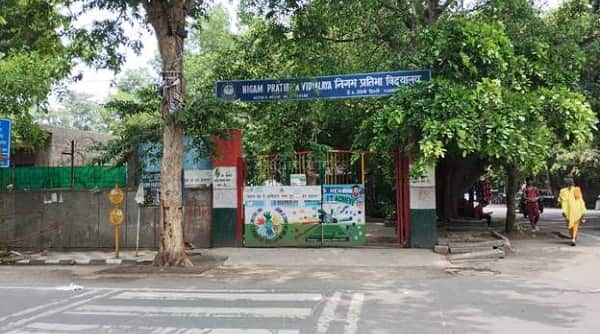
Education
BD Jain School (Avantika) is one of the well-known institutions in the sector. Mount Abu Junior Branch School, Bal Bharati Public School, and several government-run schools are in and around Sector 4. For higher education, MAIT (Maharaja Agrasen Institute of Technology) and JIMS College are both within approximately 5–7 km.
Green Spaces
Swarn Jayanti Park and multiple DDA-maintained parks within the sector ensure residents have access to open green spaces for daily walks and recreation — a consistent quality-of-life highlight that residents value.
Real Estate Snapshot
Sector 4 Rohini is a stable mid-segment residential market offering strong value. With 56+ properties available across builder floors, plotted houses, and CGHS flats, the sector caters to a wide range of buyers and renters. Average property prices across Rohini stand at approximately ₹13,100 per sq. ft., with Sector 4 commanding consistent demand due to its metro proximity and established infrastructure. Rental demand is steady year-round from working professionals and families drawn to its well-connected and organised living environment.
FAQs — Sector 4 Rohini
Q1. What is the PIN code of Sector 4 Rohini?
A: The PIN code is 110085, under North West Delhi district, NCT of Delhi.
Q2. Which metro station is nearest to Sector 4 Rohini?
A: Rithala Metro Station on the Red Line, approximately 2 km away.
Q3. Is Sector 4 Rohini good for families?
A: Yes. Reputed schools, good hospitals including Rajiv Gandhi Cancer Institute nearby, parks, walkable markets, and a safe residential character make it excellent for families.
Q4. What is the famous sub-locality in Sector 4 Rohini?
A: Vijay Vihar Phase II is one of the most well-known sub-localities within Sector 4 Rohini, popular for its organised housing layout.
Q5. How far is IGI Airport from Sector 4 Rohini?
A: Approximately 20–22 km via the Outer Ring Road.